

Weather Alert Issued Ahead Of Thunderstorms and Potential Localized Flooding Tuesday and Wednesday
The New York City Emergency Management Department (NYCEM) is advising New Yorkers to prepare for thunderstorms, heavy rainfall, and potential localized flash flooding Tuesday, July 21, into Wednesday, July 22. According to the National Weather Service (NWS), periods of rain are expected to begin as early as Tuesday morning, with moderate to locally heavy rain becoming increasingly likely after 4 p.m. with multiple rounds of thunderstorms most likely between 4 p.m. and 11 p.m. Showers may linger overnight into early Wednesday morning but are expected to clear out before 6 a.m. The city is under a slight risk of thunderstorms that could become severe from Tuesday morning through Wednesday morning. NWS has not issued any watches or warnings at this time, and NYCEM will provide updates as the forecast develops.
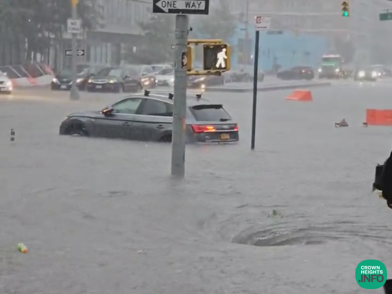
Widespread rainfall totals of 1 to 1.5 inches are forecast across the city, with localized amounts of 2.5 to 3.5 inches possible in areas of heaviest downpours. Rainfall rates of 0.5 to 1 inch per hour are expected overall, with periods of 1.5 to 2 inches per hour possible in thunderstorms. Heavier downpours could lead to localized flash flooding in poor drainage and low-lying areas, along with more widespread nuisance ponding on roadways, highways, and underpasses.
The main threat with the strongest storms is damaging wind gusts of 40 to 60 mph, most likely Tuesday evening, capable of downing tree limbs and blowing around unsecured outdoor objects. Hail is also possible in the strongest storms. All storms are inherently dangerous. Stay informed by checking the forecast at weather.gov/nyc and signing up for emergency alerts at nyc.gov/notifynyc.
NYCEM has activated the city’s Flash Flood Emergency Plan, coordinating closely with NWS city and state agencies, utility providers and private sector partners. This proactive approach includes pre-storm actions such as targeted inspection and clearing of catch basins in flood-prone areas by the agencies like the Department of Environmental Protection and the Department of Transportation to help reduce street flooding before heavy rain begins. Coordinated interagency calls ensure partners are briefed on emerging risks and prepared to escalate response operations as needed, while specialized emergency assets and response teams remain on standby for rapid deployment. NYCEM’s 24/7 Watch Command continuously monitors weather conditions and tracks developing systems in real time.
New Yorkers should allow extra travel time during periods of thunderstorms and heavy rain. Do not remain in or return to areas or buildings that are flooding, and driving through flooded streets. Even shallow water can stall vehicles. Secure loose outdoor items such as patio furniture or trash bins before winds increase. If thunder is heard, move indoors and stay away from open areas. Clear debris from nearby storm drains if it is safe to do so to help reduce street flooding.