New App Maps Out Cemeteries In Israel
A new Israeli app assists people in locating the kevarim of their relatives in Israeli cemeteries with turn-by-turn voice directions, according to a Reuters report.
The application, called Gravez, developed by app development company Corido, can be downloaded on any cellphone. The user then inputs the information on the niftar, such as name, year of death, cemetery or the name of the niftar’s father. If the exact information is not available, the user can input an estimate, such as a time range of when the relative passed away.
The app even includes the relevant tefillos to say at the kever and a map of parking areas in the vicinity of the cemeteries. Corido wants to expand the app in the future to include services such as cleaning and renovating kevarim.
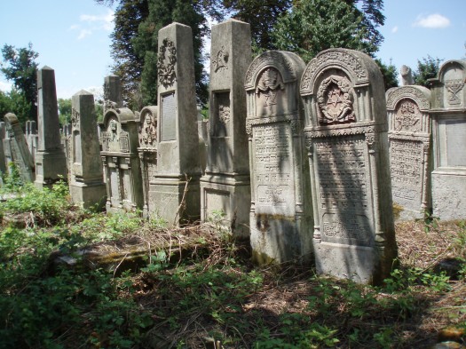
Corido utilized drones and image processing tools to map over 1.3 million kevarim in 30 cemeteries in Israel, Guy Liany, co-CEO of Corido said.
“We map all geographical elements, roads, lots, points of interest, everything that indicates a description of the cemetery,” Liany said.
A cemetery with 30,000-40,000 graves can be mapped within a few days.
“We have been getting reactions from people,” said Corido co-CEO Israel Gold. “We see that people open the application just to look at a picture of the gravestone of their grandfather or a loved one, whose grave they haven’t visited for years and they are very moved.”
Private users can use the app for free but cemetery staff must pay for its use, with the cost contingent on the size of the cemetery.
The Chevra Kadisha began using the app in September. “It will change everything,” said Yehuda Hanfling, a Chevra Kadisha manager said. “People who haven’t been to kevarim for years and want to reach (the kever) get lost because kevarim have been added, paths have been added everywhere.”
The app can currently only be downloaded in Israel but Corido has plans to expand the app internationally.