Crown Heights History: Clove Road Uncovered
This series on Crown Heights History has been compiled by Instagram account @crownheightshistory, a born and raised Crown Heightser, and shows some of the ongoing research taking place.
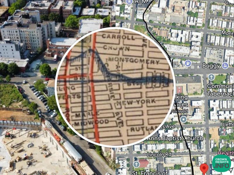
Have you ever owned one of those houses or lived in one of those buildings and just wondered why it’s built on an angle?
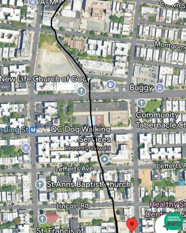
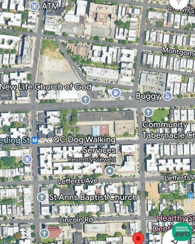
Clove road was still an indicator for property lines in Crown Heights regardless of he fact that the future grid wasn’t going to include it.
The Beis Rivka property on the top of the map is also on a curve because of the old property lines. I can’t find anything north of Crown Street which would indicate any remnants of clove Road.
Clove Road was literally the only road that took your north and south in the Bedford area and that’s why it’s considered so important for predevelopment eta in 1800s Brooklyn.
After Eastern Parkway was built in 1870 Clove Road could no longer be used, but south of the border of Brooklyn (Montgomery Street and Nostrand Avenue) the road was still in full use, and therefore developers were unable to purchase whole blocks as they did between Eastern Parkway and Montgomery Street.