Crown Heights History: The Development of Crown Heights
This series on Crown Heights History has been compiled by Instagram account @crownheightshistory, a born and raised Crown Heightser, and shows some of the ongoing research taking place.
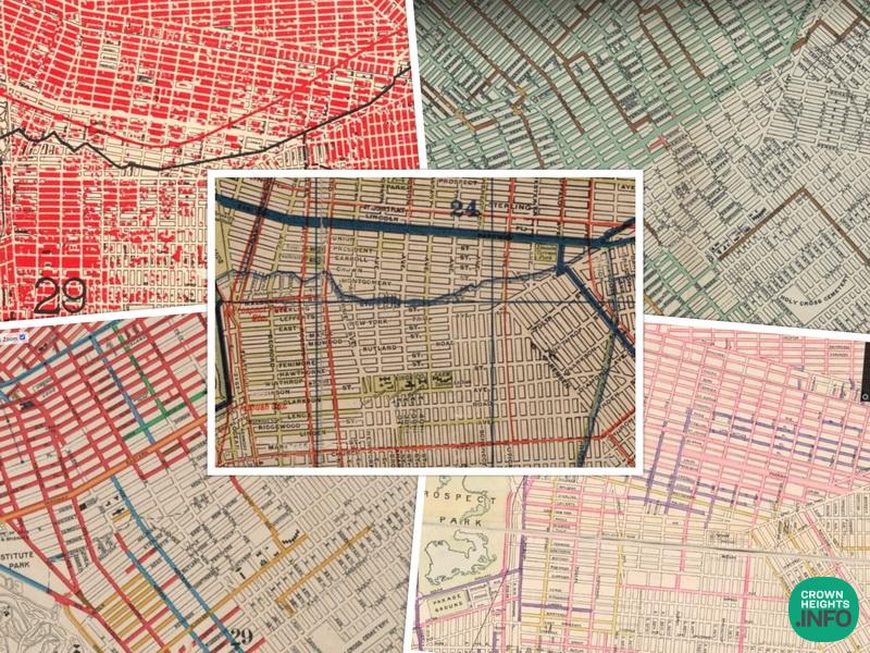
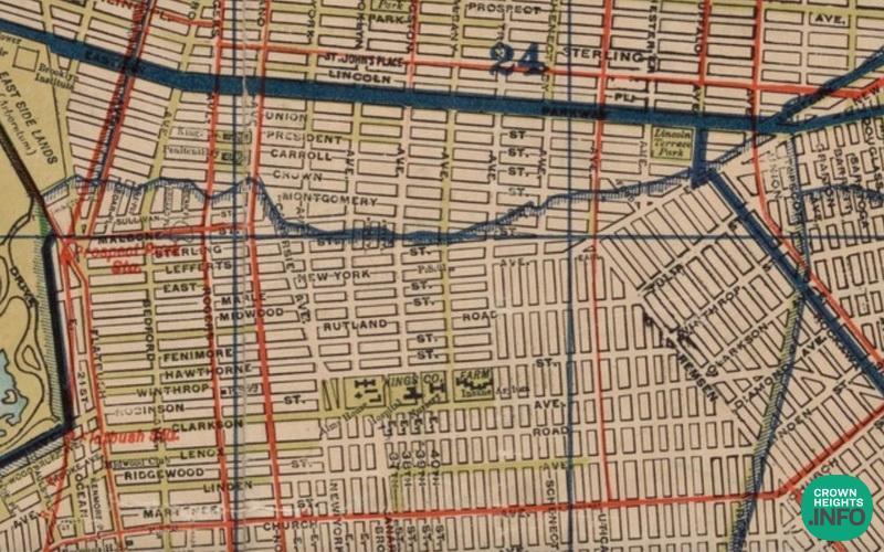
Here are a few interesting maps that provide some insight into the development of Crown Heights.
The first map shows which roads (in green) were paved with asphalt or macadamized (gravel) in 1898. As you can see, only Albany Ave and parts of President and Union streets were paved. The rest were presumably still dirt roads. There also weren’t many trolley lines in the vicinity (existing trolley lines are marked in red).
The second map, from 1900, shows the legal status of avenues & streets in the borough of Brooklyn and which roads were legally open (pink), declared open (purple), and which were pending (yellow).

The third map shows the brick sewers that were built before 1902 (brown), the pipe sewers that were built before 1902 (green), and the pipe sewers that were built in 1902 (pink). As you can see, in 1902, the sewers were not yet built for most of Crown Heights South.
The fourth map, from 1907, shows which streets were paved in asphalt (red), brick (pink), Belgian block (green), wood block (brown), granite block (blue), and macadamized (yellow).

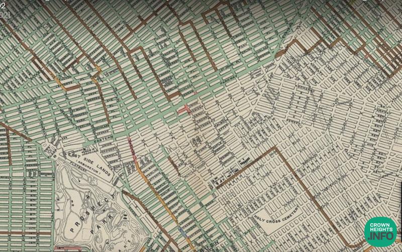
The fifth map shows how much of Crown Heights was developed in 1912. (The built up areas are in red.).

If you have any questions write to congressman Frederick Rowe.