
Crown Heights History: A Hill Grows in Brooklyn
This series on Crown Heights History has been compiled by Instagram account @crownheightshistory, a born and raised Crown Heightser, and shows some of the ongoing research taking place.
What we know today as Crown Heights was once the edge of the city of Brooklyn. Known as the Bedford Area with Crow Hill as the name of these sloping hills.
Here are some maps from the revolutionary war and the late 1800s and early 1900s.
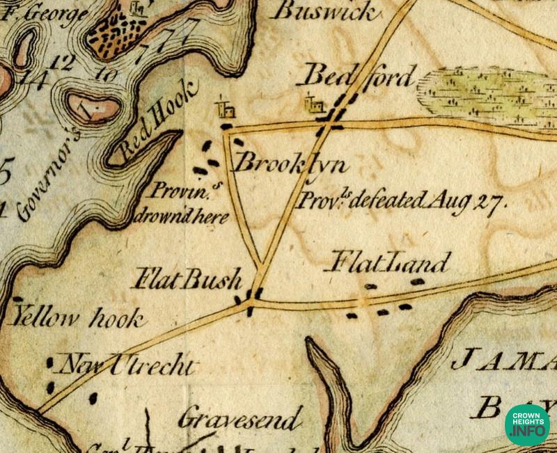
Map 1 is from the revolutionary war. Washington lost the battle but his army escaped through Brooklyn Heights.
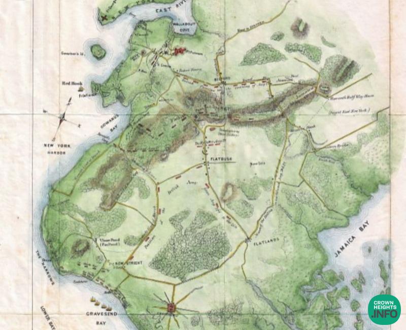
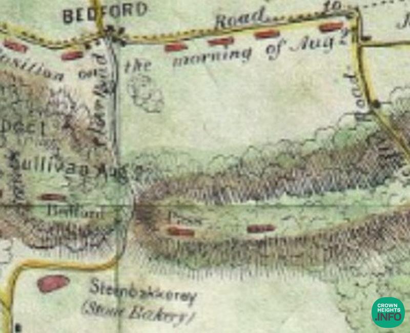
Map 2 shows us the area which was called Bedford Pass. Nothing was developed back then but we can assume the British snuck along what is today Kingston Avenue when they outflanked the patriots.
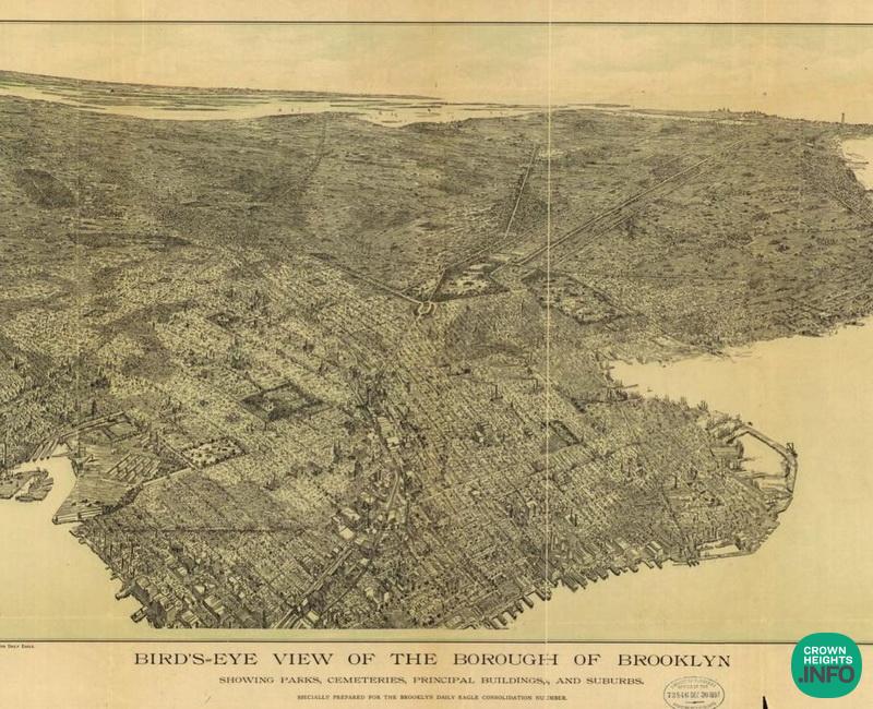
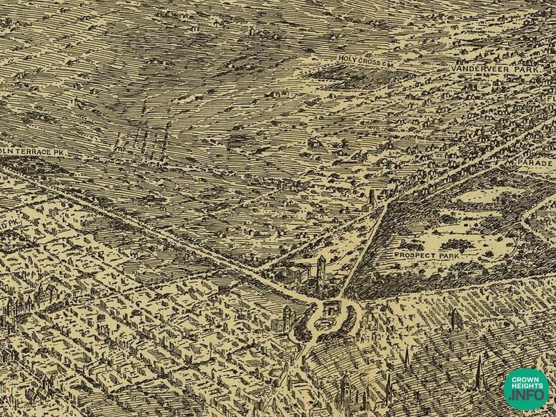
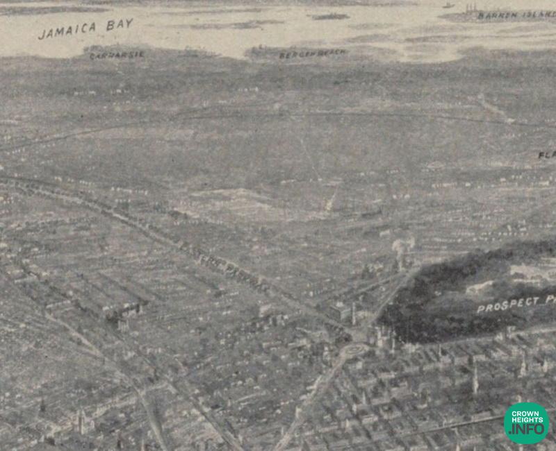
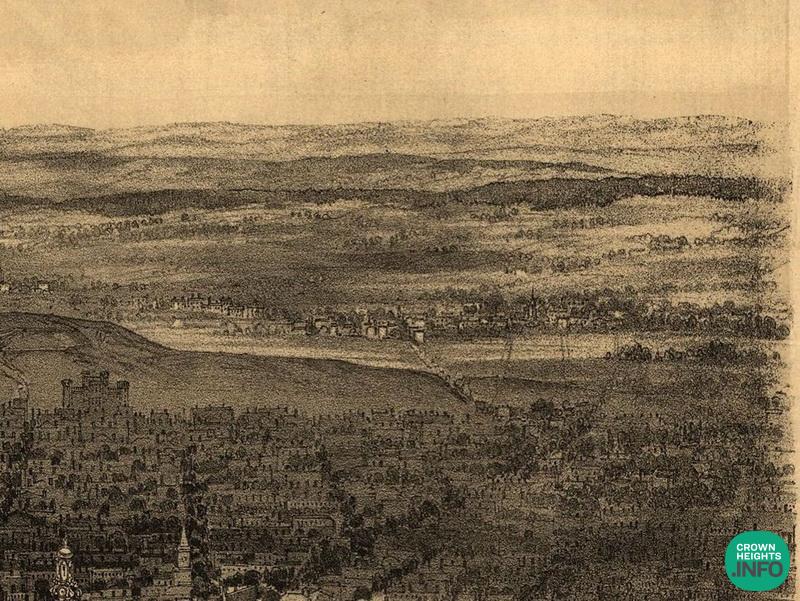
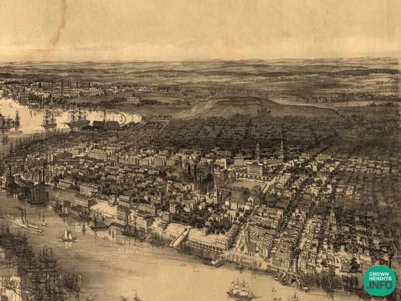
Map 3 is Birds Eye of Brooklyn in the 1890s. Next picture is the same map but closer up. You can see the water tower near the location of the Brooklyn Public library.
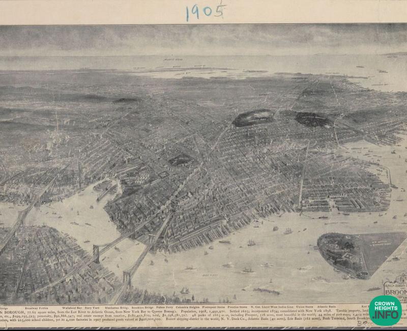
Map 4 Brooklyn in 1905 was already included in the City of New York. Only 2-3 blocks were already built and Crown Heights had a golf course.
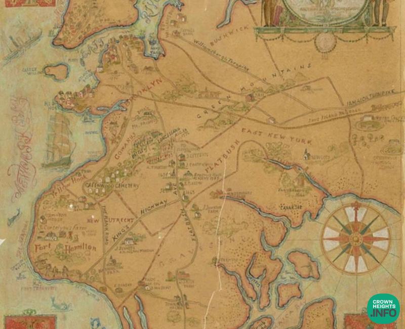
Map 5 is Brooklyn mid 1800s where Crown Heights is barely on the map.
Last 2 are from the revolutionary war.


Not Reliable
The interpretation of the maps seems very unreliable. Serious research should be done before publishing history, not haphazard guesswork.
History
You make a good point that serious research needs to be done, but these posts are suppose to start the discussion and with time things will be research in a deeper way.